
Drones in Surveying: Benefits, Uses & Best Practices
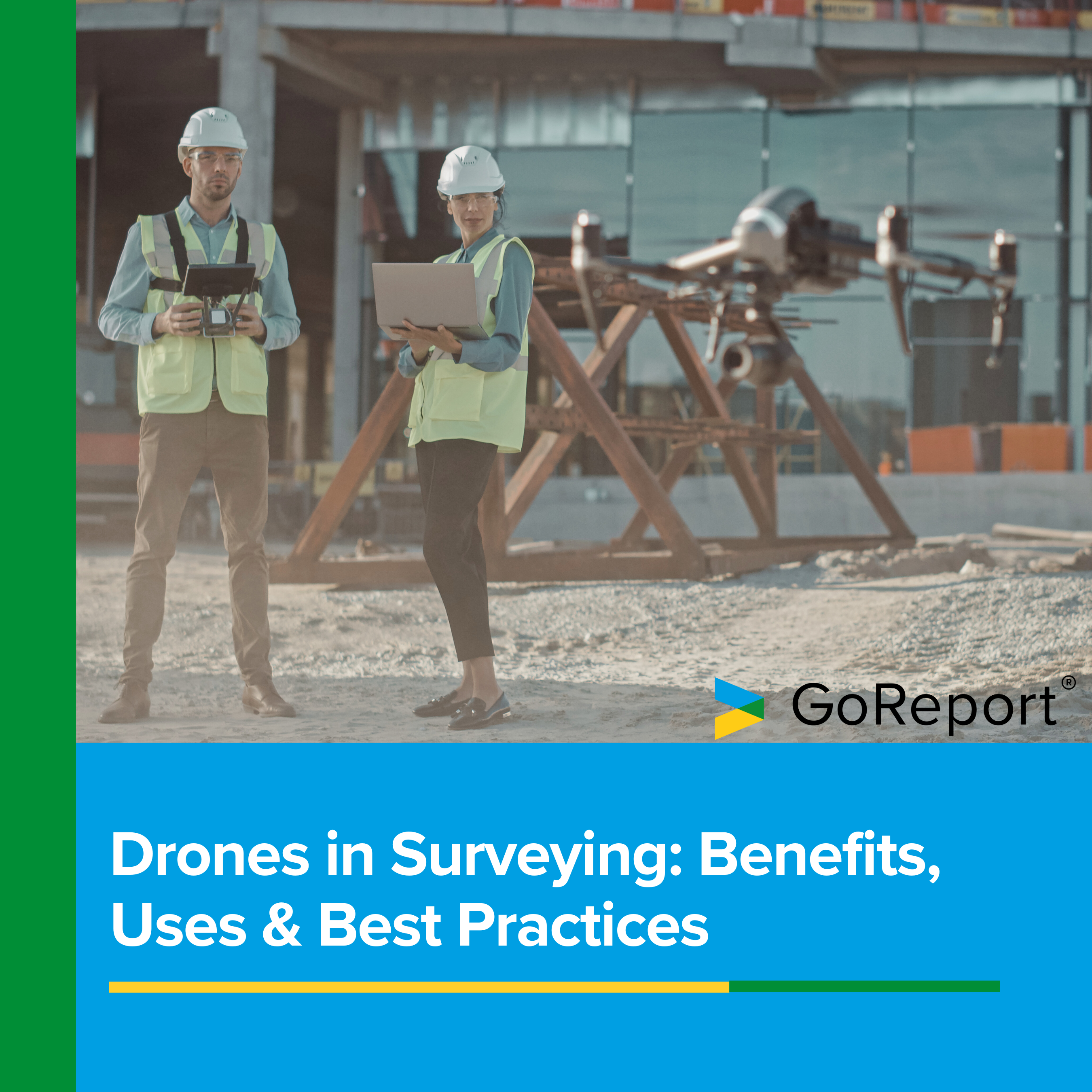
Drones are no longer just futuristic gadgets; they have become valuable tools in surveying, transforming how professionals collect and analyse data. Whether you’re assessing a residential building or mapping a large construction site, using drones in surveying brings a level of speed and accuracy that traditional methods may not be able to match.
Alex Carter, Director for Lantern Surveyors, recognised this early on: “It was clear to us several years ago that drone technology was advancing rapidly and would provide us with an invaluable tool as building surveyors.”
In this article, we’ll break down drone surveying, highlight the key benefits they provide, and explore important considerations like challenges, legal regulations, and best practices. By the end, you’ll understand why drones are helpful tools for many modern surveyors and how to integrate them effectively into your work.
Contents:
- What Are Drones Used for in Surveying?
- What Do You Do with the Outputs of a Drone?
- The Benefits of Using Drones in Surveying
- Challenges and Limitations
- Best Practices for Drone Surveying
- Legal and Regulatory Considerations
- Types of Drones for Surveyors
- Glossary of Terms
What Are Drones Used for in Surveying?
Drones, or Unmanned Aerial Vehicles (UAVs), offer surveyors a perspective that traditional ground-based methods can’t always achieve. Drones capture high-resolution images, measure terrain, and gather data quickly, making them ideal for tasks ranging from large-scale mapping to detailed building inspections.
Drones are often used in topographic surveys to create detailed 3D maps and orthophotos, allowing surveyors to assess terrain features with speed and precision. They also play a key role in construction site monitoring, helping track progress, identify potential issues, and ensure the project stays on schedule.
“We utilise drones for detailed roof and high-level inspections, as you might expect, but also as part of a wider Schedule of Condition (SOC) or Planned Preventative Maintenance (PPM) assessments,” Alex explains.
Building and roof inspections benefit from drones as they can easily access difficult-to-reach areas, such as rooftops or facades, without the need for costly scaffolding. They are also commonly used for land boundary surveys, offering an accurate depiction of property lines, which is important in both residential and commercial contexts.
When it comes to infrastructure assessments, drones can inspect bridges, power lines, and railways much more efficiently than traditional methods. Plus, they assist in environmental surveys by collecting data on vegetation, wildlife, and natural habitats, which is essential for impact assessments.
With such a diverse range of uses, drones in surveying have become versatile and powerful tools that are likely to be used more frequently in the industry.
What Do You Do with the Outputs of a Drone?
When implementing drone surveying, it’s important to understand that simply collecting data is not the end goal, it’s how that data is processed and presented to the client that adds value. Alex Carter emphasises this point: “When considering drone usage, you have to be knowledgeable and realistic about whether a drone will benefit the survey, and which type of drone is most appropriate to the situation. Most clients are unlikely to be excited about the use of drones versus a camera or other methods to collect information; the key outcome for a client is our report and findings. We analyse the drone footage post-flight alongside our other digitally captured information to consider and finally produce our report.
“We have invested in GoReport for our digital data collection and reporting for all of the different surveys we deliver. The GoReport solution allows us to import and easily annotate our high-resolution drone photograph stills and include them as part of the production of the final professional report.”
He also highlights that while transmitting raw footage directly to clients isn’t often practical due to large file sizes, the footage is preserved.
“New value can subsequently be generated from the captures, such as advising contractors appointed to remedy particular issues or for future re-surveys to compare changes over time,” he adds.
The Benefits of Using Drones in Surveying
Drones offer a number of benefits for surveyors, many of which go beyond simple data collection. From speeding up workflows to improving accuracy and safety, here’s how drone surveying provides value:
1. Enhanced Efficiency and Speed
One of the biggest benefits of using drones in surveying is the speed they offer. Traditional survey methods, especially on large or complex sites, can take days or even weeks to complete. Drones, on the other hand, can capture the same data within a few hours, making them particularly useful for time-sensitive projects.
2. Improved Data Accuracy and Quality
Modern drones come equipped with high-resolution cameras, LiDAR systems, and other sensors, allowing them to capture precise measurements and generate detailed 3D models. This accuracy reduces the likelihood of errors and ensures surveyors have reliable data to work with, which is important for making informed decisions.
“We analyse drone footage alongside our other digitally captured data to provide clear and actionable reports for clients,” says Alex.
3. Cost Savings
You may think that a drone is out of your budget, but it can actually save money in the long run by reducing the need for expensive equipment such as scaffolding, cherry pickers, or helicopters. Because they streamline data collection, fewer people are often required on-site, further cutting down on expenses.
4. Safety
Surveying hazardous or difficult-to-access areas can put surveyors at risk. Drones eliminate the need for staff to physically access these locations, reducing the likelihood of accidents and injuries. Alex says, “Drones allow us to gather high-level inspection data efficiently without putting anyone at unnecessary risk.”
5. Comprehensive Data Collection
Drones can collect vast amounts of data, from high-resolution photos to thermal imaging and topographic scans. This comprehensive dataset provides a holistic view of the project, enabling surveyors to deliver thorough and accurate reports. Importantly, Alex notes, “The key outcome for a client is our final report, not the raw drone footage.”
These are only a handful of the numerous advantages that come with drones in surveying.
Challenges and Limitations of Drone Surveying
While drones offer numerous advantages for surveyors, they also come with a few limitations that you need to be aware of. Understanding these challenges can help surveyors prepare and mitigate potential issues effectively, as well as decide if they are a worthy investment for their business.
1. Weather Dependance
Drones are sensitive to weather conditions like high winds, rain, and fog. Poor weather can affect their stability and the quality of the data they collect, limiting when and where they can be used. Surveyors need to monitor conditions closely to avoid interruptions and have a backup plan for when these instances occur.
2. Battery Life and Flight Duration
Most drones have limited battery life, typically ranging from 20 to 40 minutes per flight, depending on the model used. For large-scale projects, this can be a constraint, as surveyors will need multiple batteries or charging options.
3. Regulatory Compliance
Operating drones commercially in the UK requires compliance with Civil Aviation Authority (CAA) regulations. Navigating these legal requirements, especially in urban areas, can sometimes be complex. “Surveyors must be fully aware of the permissions required for each site,” Alex advises.
4. Data Management
Drones generate large datasets that need to be processed and stored properly. Without the right infrastructure in place, this can quickly become overwhelming and lead to delays in delivering final reports. Software like GoReport can help streamline this process.
While this may appear discouraging, many of these limitations can be overcome with proper planning and awareness. Drone surveying comes with many benefits, most of which negate the limitations.
Best Practices for Drone Surveying
Getting the most out of drone technology involves more than just learning how to fly it. To achieve the best results, surveyors should follow best practices:
1. Obtain Proper Training and Certification
Surveyors should undergo thorough training and obtain the necessary certifications, such as the General Visual Line of Sight Certificate (GVC). This ensures they can operate drones safely and legally in the UK.
2. Conduct Thorough Risk Assessments
Before any flight, surveyors should evaluate potential risks, such as obstacles or environmental hazards. Developing a flight plan and a guide to mitigating limitations and challenges will help minimise potential issues, ensuring your attempt at drone surveying goes smoothly rather than wasting time on-site.
3. Choose the Right Drone and Equipment
Different projects require different drones. For example, LiDAR-equipped drones are ideal for topographic surveys, while thermal imaging drones are better suited for building inspections. Get in touch with experts, consider your main use for the drone and do thorough research before investing so you don’t get stuck with a tool that isn’t quite up to par.
4. Plan Flights Efficiently
Efficient flight planning ensures optimal data collection and maximises battery life. Automated flight paths using software can help achieve greater precision.
Legal and Regulatory Considerations
Drone surveying in the UK involves understanding and adhering to a number of legal requirements. Failure to comply can result in fines or restrictions on operations.
1. Civil Aviation Authority (CAA) Regulations
The CAA sets the rules for drone operations in the UK. Surveyors need an operational authorisation and must adhere to rules regarding flight altitudes, distances from people, and airspace restrictions.
2. Privacy and Data Protection
When capturing data, surveyors must comply with GDPR regulations to ensure personal information is handled responsibly and securely.
3. RICS Guidelines
Surveyors should follow the standards set by the Royal Institution of Chartered Surveyors (RICS) to ensure their work remains professional, accurate, and accountable.
4. Insurance Requirements
Adequate insurance, including public liability and drone-specific coverage, is necessary to protect against risks and potential damages.
While you may be raring to go and get started with your new piece of tech, it’s important to stick by these rules and ensure everything is in order before you do.
Types of Drones for Surveyors
Choosing the right type of drone can make a significant difference in project outcomes. Different types of drones serve different needs, from precise building inspections to large-scale mapping.
1. Multirotor Drones
Multirotors are highly manoeuvrable, making them ideal for close-range inspections and projects that require precision.
2. Fixed-Wing Drones
Designed for long-range flights, fixed-wing drones can cover large areas quickly, making them perfect for topographic surveys.
3. Hybrid Drones
These drones combine the best of both multirotors and fixed-wing models, offering versatility and extended flight times.
4. Specialised Sensor Drones
Drones equipped with LiDAR, thermal imaging, or multispectral cameras can provide specialised data for different types of surveys.
Drone surveying is levelling up many toolkits, making work faster, safer, and more accurate. While there are challenges to consider, proper training, planning, and the right tools can help surveyors realise the full potential of this technology. As Alex puts it, “Drones are not just an added luxury – they are becoming an essential part of the modern surveyor’s toolkit.”
Glossary of Terms
- CAA (Civil Aviation Authority): The regulatory body responsible for overseeing drone operations in the UK.
- Unmanned Aerial Vehicles: Another term for a drone.
- GVC (General Visual Line of Sight Certificate): A certification required for commercial drone pilots in the UK.
- LiDAR (Light Detection and Ranging): A remote sensing method that uses laser pulses to create high-resolution maps.
- Multirotor Drone: A drone with multiple propellers, typically used for short-range flights and detailed inspections.
- Fixed-Wing Drone: A drone with a single wing, similar to an airplane, suitable for covering large areas efficiently.
- Orthophotos: Geometrically corrected aerial images that provide accurate representations of terrain.
- Thermal Imaging: The use of infrared sensors to detect temperature differences, useful for detecting structural issues or leaks.
Thinking about adding new tech to your surveying practice? Whether you’re already using drones or planning to bring them on board, GoReport’s digital solutions ensure you get the most out of drone-captured data and deliver high-quality results to your clients. Sign up for a free trial today to see the difference it can make.


Getting started with GoReport
Whether you’re a sole trader, a multi-surveyor practice, or part of a global organisation, we’re ready and waiting to start your digital journey.